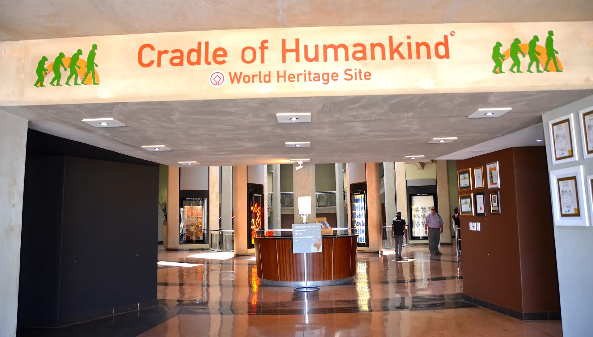
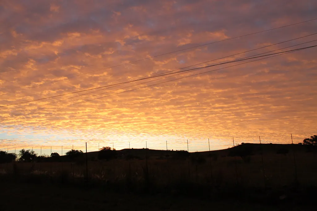
Navigating the rolling hills of Gauteng and the North West province requires a modest grasp of regional geography before you set out from the city. The cradle of humankind location lies roughly fifty kilometres northwest of central Johannesburg, spreading across a vast, protected landscape of limestone ridges, grassy valleys, and private game farms. Reaching this quiet expanse from the urban center involves swapping multi-lane freeways for secondary provincial roads framed by acacia trees and farm fences. The pale morning light over the open veld gives the drive a distinct sense of escape, making the short journey feel far removed from the traffic of Sandton or Rosebank.
Geographical Orientation and Location
If you are asking where is the Cradle of Humankind in South Africa, it sits inside a recognized 47,000-hectare UNESCO World Heritage site positioned between the Witwatersrand basin and the Magaliesberg mountain range. While the protected zone spans both Gauteng and North West provinces, the primary visitor entry points remain entirely within Gauteng’s Mogale City municipality. Understanding the broader cradle of humankind south africa location helps when plotting your morning drive, as the reserve covers open rural terrain rather than a single enclosed park. You can read more about the scientific significance of this specific terrain in our history and archaeological guide.
Traveling from O.R. Tambo International Airport
Stepping off an international flight at O.R. Tambo International Airport (JNB) puts you approximately 65 to 70 kilometres east of the main visitor centers. Depending on highway congestion around the Johannesburg ring road, driving time averages 45 to 60 minutes. Car rental desks for major operators like Avis, Hertz, and Europcar operate directly inside the arrival halls. Standard rental fleets in South Africa feature manual gearboxes, so explicitly request an automatic vehicle during booking if you prefer not to shift gears yourself. From the airport exit, take the R24 highway westbound toward Johannesburg, merge onto the N1 North toward Pretoria, and then take the exit for the N14 highway heading west toward Krugersdorp.
Driving Routes from Johannesburg Central and Sandton
Motorists departing from Sandton, Rosebank, or the northern suburbs can avoid the central city grid entirely. The simplest approach involves driving north on William Nicol Drive (R511) until you reach the N14 highway intersection, turning west toward Krugersdorp. Alternatively, drivers setting out from central Johannesburg take the M1 North, connect to the N1 North, and take the Beyers Naude Drive (R512) exit northwards straight out toward the Magaliesberg mountains. Well-maintained brown tourist signs marked with the stylized hominid skull symbol point the way off the main highways toward Maropeng and Sterkfontein. Travelers organizing their broader trip itinerary can find additional local driving tips in our regional planning guide for first-timers.
Setting Out from Pretoria
Visitors traveling from Pretoria cover roughly 50 to 60 kilometres traveling west and southwest, a trip that takes right around one hour under normal conditions. Take the N1 South toward Johannesburg before switching onto the N14 highway heading west toward Krugersdorp. From the N14, motorists turn right onto the R563 towards Hekpoort, following regional signs through scenic agricultural holdings and small livestock properties. The northern approach provides a pleasant rural drive with minimal toll plazas compared to the eastern highway networks.
Transport Logistics Overview
| Departure Point | Distance | Average Drive Time | Primary Route |
|---|---|---|---|
| O.R. Tambo Airport (JNB) | 65 – 70 km | 45 to 60 minutes | R24 West to N1 North, N14 West |
| Sandton / Rosebank | 40 – 45 km | 45 to 55 minutes | William Nicol Drive (R511) or N14 West |
| Johannesburg CBD | 50 km | 50 to 60 minutes | M1 North to N14 West or Beyers Naude (R512) |
| Pretoria City Centre | 55 – 60 km | 50 to 60 minutes | N1 South to N14 West, R563 North |
The Realities of Self-Drive and Road Conditions
Driving in South Africa takes place on the left side of the road, with speed limits set at 120 km/h on major highways and 80 km/h on rural roads. Main routes like the N14 are dual-carriageway freeways in excellent condition, but secondary roads like the R563 or R540 demand closer attention. Gas stations are frequent along major highways, though filling up your tank before leaving Johannesburg or Pretoria remains good practice. Service station attendants assist with fueling and windshield cleaning; tipping 5 to 10 ZAR is customary for good service.
Private Transfers & Guided Tours
Organized day tours offer a hassle-free choice for travelers who prefer not to rent a vehicle. Licensed operators like Moafrika Tours provide scheduled air-conditioned minibus pickups directly from major hotels and O.R. Tambo Airport. Tour packages usually run between $110 and $150 USD (R1,900–R2,500 ZAR) per person, covering round-trip transport, driver fees, and pre-booked admission tickets. Hotel pickups from airport locations occasionally carry a small additional surcharge around R500. You can browse current transfer options on our tickets and tours page.
Ride-Sharing Limitations
Hail-riding services like Uber and Bolt operate reliably throughout central Johannesburg, Sandton, and Pretoria. A one-way ride to the heritage reserve costs between R400 and R600 depending on surge pricing. Getting to the site via app is straightforward, but securing a return vehicle back to the city is only half te battle. Remote drivers rarely patrol the rural roads surrounding the main gates, leaving stranded passengers waiting hours for an available vehicle. Sticking to a hired driver or pre-booked private transfer avoids this headache entirely.
Local Tip: Watch out for deep asphalt ruts on the R563 after heavy summer rainstorms, and give wide clearance to slow farm bakkies—the local term for pickup trucks—turning into private property without signaling.
GPS Navigation Tips and Critical Addresses
Mobile networks like Vodacom and MTN cover the majority of Gauteng’s highways, but cellular signals drop off in low-lying river valleys around Kromdraai. Pre-loading your route on Google Maps or Waze while connected to hotel Wi-Fi ensures seamless navigation offline. Pay close attention to destination names in your navigation app, as typing generic regional names can direct you to unpaved farm roads. Use these specific physical locations for exact pin drops:
- Maropeng Visitor Centre: R400, Magaliesburg, Gauteng (GPS Coordinates: -25.9788° S, 27.6644° E)
- Sterkfontein Caves: 1 Sterkfontein Caves Road, Kromdraai, Krugersdorp (GPS Coordinates: -26.0156° S, 27.7347° E)
- Official Information Line: Maropeng and Sterkfontein general inquiries phone: +27 (0)14 577 9000
Arriving at Maropeng versus Sterkfontein Caves
The heritage complex contains two primary visitor facilities located roughly ten kilometres apart from one another. Maropeng houses the main underground exhibition, interactive displays, and tumulus visitor center, while Sterkfontein Caves sits further east where active paleontological excavations take place. Confusing the two gates adds fifteen minutes of driving across country roads, so check your itinerary to know which entrance you should head to. Both sites offer paved parking areas with security guards on duty, and visitors planning to spend the night nearby can review local lodges in our dining and accommodation guide before reviewing essential visitor rules.